the Union Cabinet approved a Memorandum of Understanding (MoU) between the Geological Survey of India (GSI) and the Research Institute for Geo-Hydrological Protection (CNR-IRPI) of the National Research Council (Italy). This MoU aims to enhance collaboration in landslide forecasting and early warning systems.
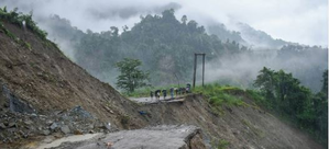
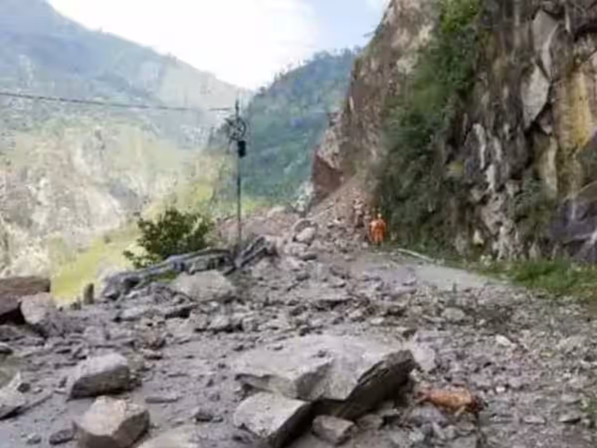
 The partnership focuses on building expertise and acquiring advanced skills in landslide prediction, enabling India to improve its Landslide Early Warning Systems (LEWS) to meet international standards. This initiative is especially crucial for preventing damage from landslides, like the one that occurred in Wayanad, Kerala.
GSI has already established a cutting-edge National Landslide Forecasting Centre (NLFC) in Kolkata. This facility is working on deploying regional LEWS in landslide-prone states and Union Territories across India to reduce risks. Currently, the NLFC provides daily forecasts for districts like Kalimpong and Darjeeling in West Bengal, and Nilgiri in Tamil Nadu, while also conducting ground testing in 13 additional districts.
CNR-IRPI is renowned for its expertise in developing LEWS models with high spatial and temporal resolution, including real-time forecasting capabilities. The collaboration will integrate GSI’s landslide data and forecasts with the PM Gati Shakti initiative, which aims to reduce vulnerability in mountainous areas and enhance resilience.
This partnership is expected to significantly improve landslide risk management, safeguard lives, and contribute to sustainable development and environmental protection in India’s hilly regions. The plan includes expanding the forecasting system to more landslide-prone districts, enhancing its capabilities for better prediction and mitigation.


