Operational Since 2007
Established in the aftermath of the devastating 2004 Indian Ocean tsunami, the Indian Tsunami Early Warning Centre (ITEWC) was set up at INCOIS, Hyderabad, under the Ministry of Earth Sciences (MoES). The centre became fully operational on 15 October 2007.
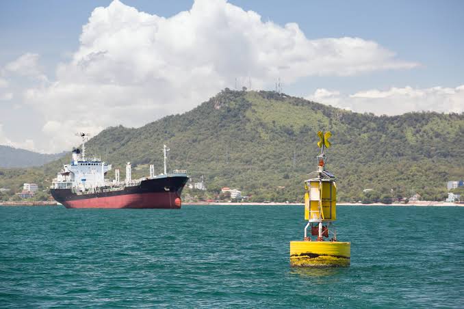
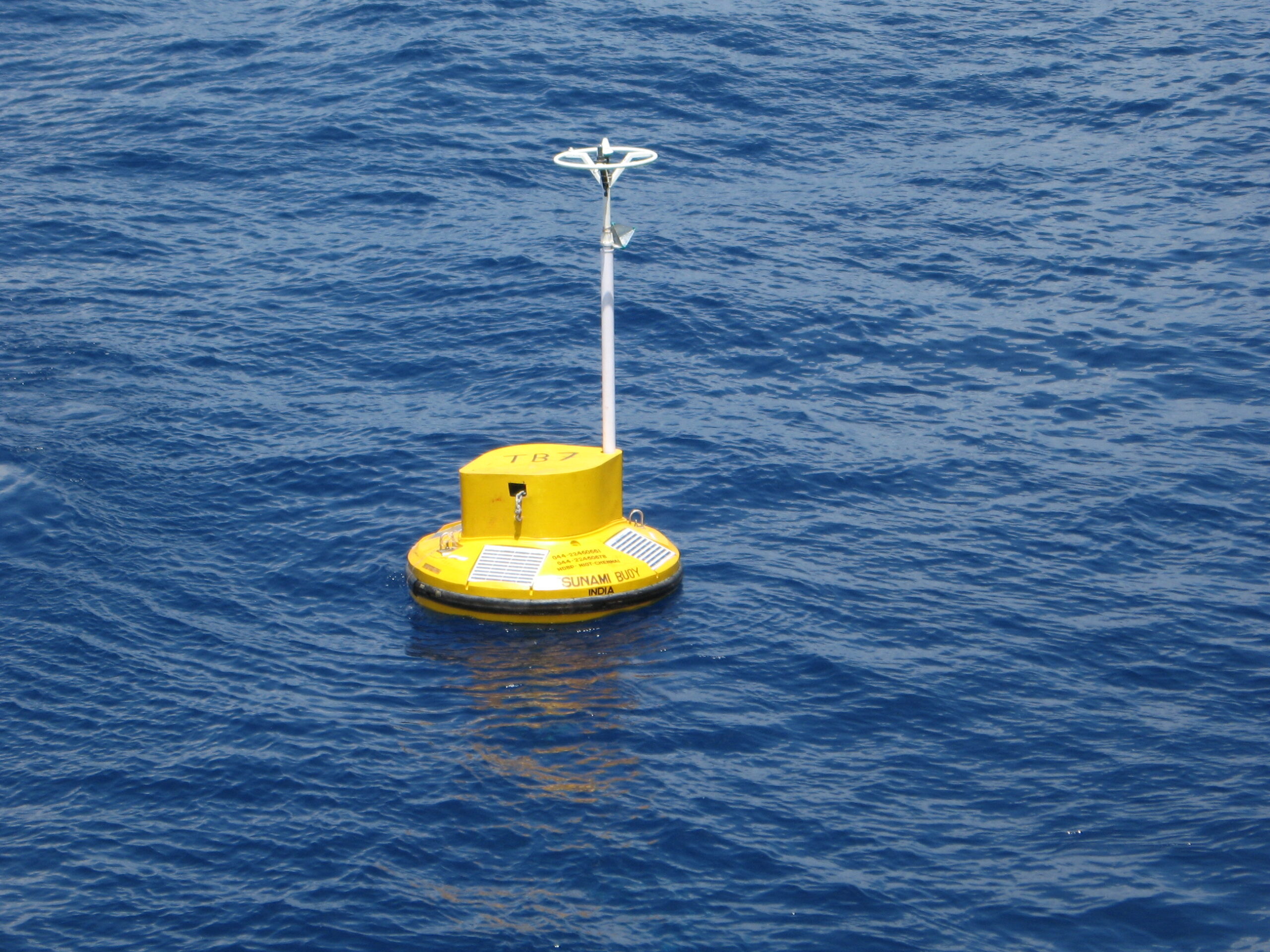
Equipped with advanced real-time seismic and sea-level monitoring systems, high-speed computing, and modern communication infrastructure, the centre can detect tsunamigenic earthquakes within 10 minutes and issue advisories as per standard operating procedures.
 Consistent Global Performance
Under the UNESCO-Intergovernmental Oceanographic Commission (IOC) framework, the performance of tsunami warning centres is assessed annually using Key Performance Indicators (KPIs). These include detection time, magnitude accuracy, and precision in locating earthquake epicentres and focal depths.
According to the statement placed in the Rajya Sabha by Minister of State (Independent Charge) for Earth Sciences Dr. Jitendra Singh, the ITEWC has consistently met all prescribed KPIs. The system monitors 100 percent of earthquakes of magnitude 6.5 or above, maintains magnitude differences within 0.3 units, and ensures location accuracy within 30 kilometres.
Over the past five years, the centre has monitored 145 earthquakes of magnitude 6.5 and above, including eight in the Indian Ocean region. In each case, detailed assessments confirmed that no tsunami threat existed for India or the wider Indian Ocean.
Advanced Technology Boost
To further enhance forecasting capabilities, INCOIS has commissioned a High Performance Computer (HPC) system named ‘Tarang’. This dedicated platform supports real-time tsunami modelling and operational ocean services, significantly improving response speed and analytical depth.
The centre has also developed specific standard operating procedures for volcanic-induced tsunamis and initiated dissemination of bulletins to NAVAREA stakeholders, strengthening maritime coordination.
Mock Drills and Preparedness
Preparedness remains a key pillar of India’s tsunami response strategy. In the last five years, eight tsunami mock drills have been conducted to test systems and coordination mechanisms.
Two of these IOWave23 in October 2023 and IOWave25 during October–November 2025 were regional exercises coordinated across the Indian Ocean. Additionally, six national and state-level drills were held between 2021 and 2024, improving readiness among coastal States and Union Territories.
These exercises tested emergency protocols, evacuation mechanisms, and communication systems, enabling authorities to refine their standard operating procedures.
Multi-Channel Alert System
INCOIS maintains a comprehensive database of coastal Disaster Management Officials and national agencies, including the National Disaster Management Authority (NDMA) and the Ministry of Home Affairs.
In the event of a major earthquake or tsunami threat, advisories are disseminated through SMS, email, fax, Global Telecommunication System (GTS), Electronic Display Boards, and Voice over Internet Protocol. Alerts are also published on the INCOIS website and mobile platforms such as the SAMUDRA app and CAP Sachet.
Tsunami advisories are issued in four categories Warning, Alert, Watch, and No Threat to guide decision-making. While INCOIS provides scientific advisories, evacuation orders are issued by respective state and local authorities.
Integrated Ocean Advisory Services
Beyond tsunami warnings, INCOIS functions as the nodal agency for multiple ocean-based early warning services. These include storm surge alerts, high-wave warnings, ocean current advisories, and swell surge forecasts.
By integrating real-time observations, high-resolution numerical models, machine learning tools, and advanced communication systems, the agency ensures accurate and timely delivery of critical information to coastal communities and maritime stakeholders.
Capacity-building programmes, awareness workshops, and the Tsunami Ready initiative are regularly conducted in coordination with State Disaster Management Authorities and maritime agencies.