
Where the storm formed and current position
According to IMD updates, Cyclone Ditwah developed near 6.9°N/81.9°E close to Pottuvil roughly 700 km south-southeast of Chennai and is tracking north-northwest (NNW). The weather agency posted the position and forecast track on its official X account and warned of heavy rainfall in coastal districts through the weekend.
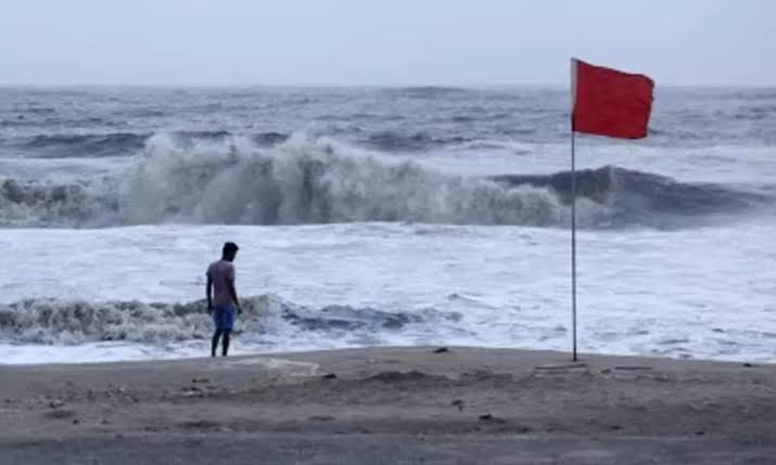

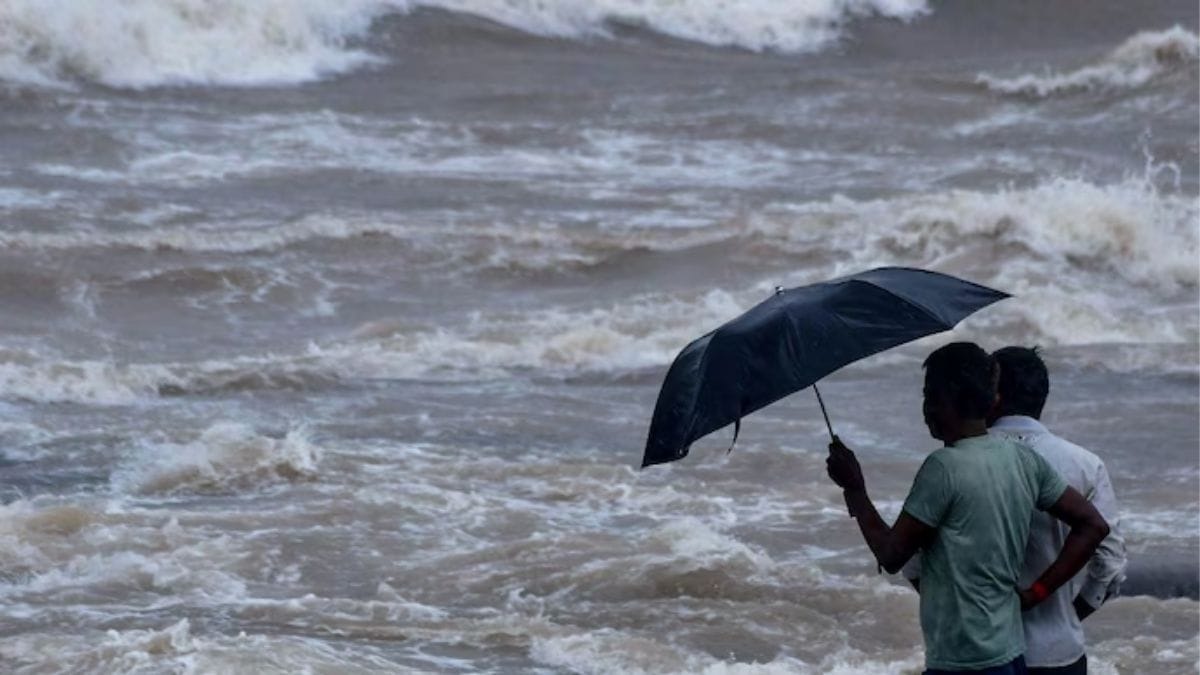
IMD expects Ditwah to reach off the north Tamil Nadu–Puducherry–south Andhra Pradesh coast by early November 30. Coastal districts have been placed under weather alerts; the agency has issued yellow and orange warnings for several districts, signalling the possibility of heavy to very heavy rain, gusty winds and high seas. Residents in low-lying coastal areas have been advised to follow local authority instructions and avoid unnecessary travel.
State-level precautions
District administrations in Tamil Nadu have activated alert protocols and placed specific districts including Chennai, Nagapattinam, Thiruvallur and Thanjavur on watch for November 27–29. Fisherfolk advisories and harbour restrictions were recommended as rough seas and strong onshore winds are expected nearer landfall. Local disaster response teams and municipal agencies are on standby.
Why Ditwah matters now
Ditwah arrives as the region watches another uncommon system Cyclone Senyar which formed in the Strait of Malacca and moved away from India’s immediate waters. Meteorologists called Senyar rare because storms of tropical-cyclone intensity in the narrow Malacca Strait are highly unusual, underscoring a volatile late-season pattern across the northern Indian Ocean. The near-simultaneous presence of Senyar and Ditwah has amplified regional forecasting attention.
Impact projections and preparedness tips
Forecast models referenced by national and regional media suggest heavy rain over coastal Tamil Nadu, Puducherry, coastal Andhra Pradesh and adjoining interior districts such as Rayalaseema. Authorities caution about urban flooding, tree falls and temporary power outages. Citizens are advised to secure loose outdoor objects, keep emergency kits ready, and follow updates from official sources such as the IMD and state disaster management authorities.
Where to follow official updates
For real-time advisories consult the India Meteorological Department and state disaster management websites. The IMD’s bulletins and social feeds will carry updated tracks, wind-speed estimates and district-level warnings as the system evolves.