 Radar network and geographic reach
As of late 2025 IMD operates 47 Doppler radars across India, covering roughly 87% of the country’s area under radar surveillance. The radars a mix of S-band, C-band and X-band systems improve detection of heavy rainfall, thunderstorms and cyclone dynamics, and help reduce blind spots in both coastal and interior regions.
Authorities said further DWR installations are planned to fill remaining gaps, provide redundancy and replace aging equipment as part of Mission Mausam’s phased expansion.
BharatFS: higher resolution, longer-range guidance
BharatFS IMD’s indigenous numerical forecasting model now runs at a high spatial resolution of 6 kilometres and produces skillful forecasts up to 10 days. The finer grid allows localized predictions, often down to panchayat or cluster-of-panchayats levels, helping authorities design precision responses for communities at risk.
IMD officials noted that improved model dynamics and better observational inputs are necessary complements to achieve sustained forecast accuracy, which also demands high-performance computing and trained personnel for model development and interpretation.
Impact-based early warning and decision support
The IMD has rolled out a Decision Support System (DSS)-based multi-hazard, real-time early warning platform that integrates observations, historical records and numerical forecast products. This impact-based system issues tailored advisories and suggested actions at district and city levels, enabling disaster managers to plan targeted interventions for heavy rainfall, floods, droughts and other extremes.
These systems operate alongside state Met Centres and specialised cyclone and heavy-rainfall centres, which provide round-the-clock services during high-risk seasons.
Digital tools and public outreach
To widen public access, IMD has linked multiple services to national mobile platforms: the MAUSAM app for forecasts, MEGHDOOT for agromet advisories, DAMINI for lightning alerts and integration via UMANG. Meghdoot’s registered user base has grown steadily from 2.36 lakh users at launch to over 4.16 lakh by November 28, 2025.
Meghdoot now covers nearly 700 agriculturally important districts and provides daily block-level forecasts for nearly 7,000 blocks and 747 districts. The app supports 12 languages and uses pictorial advisories to improve farmer usability.
Hazard atlas and multi-channel dissemination
IMD has published a web-based Climate Hazard & Vulnerability Atlas for 13 major meteorological hazards to help state agencies identify hotspots and plan resilient infrastructure. The atlas is publicly accessible and intended to guide disaster management and planning.
Forecasts and warnings reach citizens via web, SMS, email and social media platforms including YouTube, Facebook, X and Instagram. The Common Alerting Protocol (CAP) developed by NDMA is also being implemented to standardise and speed warning dissemination.
Measuring gains and remaining challenges
IMD reports an improvement in forecast skill for severe events of about 30–40% over the last decade. Increased radar coverage, higher-resolution modelling and multi-hazard DSS have driven these gains.
Nonetheless, IMD cautions that further improvements require sustained investment: expanding the observational network, deploying more high-performance computing resources, and enhancing human capital for R&D in numerical weather prediction and data assimilation.
Why it matters
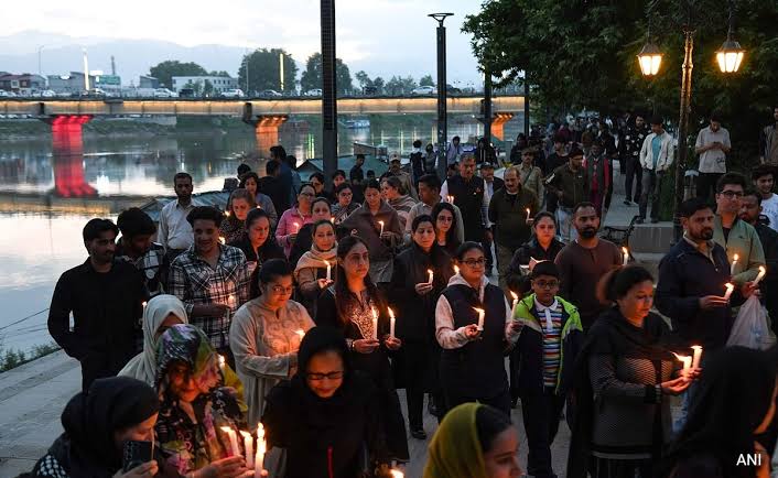
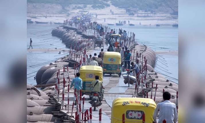
Localized, timely forecasts and agromet advisories directly support climate-resilient agriculture, urban preparedness and disaster response. As extreme weather becomes more frequent, integrating high-resolution models, dense observations and user-centric dissemination will remain central to protecting lives, livelihoods and infrastructure.