 Satellites for Remote Sensing and Communication
By 2027–2028, ISRO plans to launch Resourcesat-3 and 3A, Resourcesat-3S and 3SA, HRSAT, G20 Satellite, and TRISHNA. These satellites will provide advanced remote sensing data to monitor land, water, and climate resources. Ladakh, with its fragile ecosystem, stands to benefit immensely.
Currently, data from in-orbit satellites such as Cartosat-3, Resourcesat-2A, RISAT-1A, INSAT-3DS, and Oceansat-3 already cover Ladakh. This ensures constant tracking of natural changes in the Himalayan landscape.
On the communication front, 12 Indian satellites provide coverage in Ladakh. These resources, offered to telecom providers, help improve broadband and mobile connectivity across the Union Territory. Additionally, 10 foreign satellites and 3 LEO/MEO constellations are authorized to support services in the region.
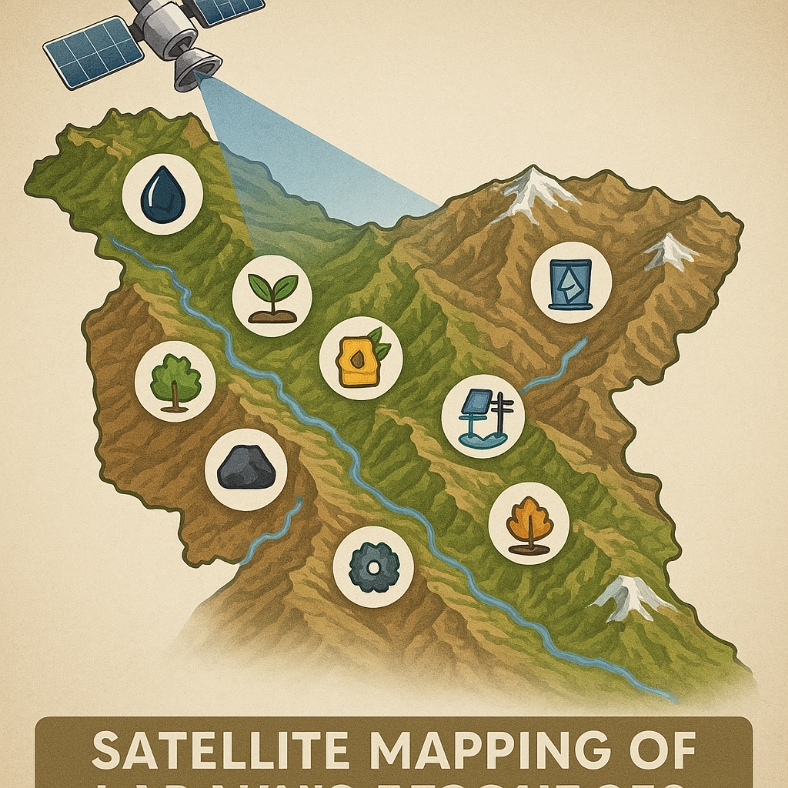
Geoportals and Resource Mapping for Ladakh
ISRO has designed specialized geoportals for Ladakh. The Geo-Ladakh portal supports agriculture, horticulture, renewable energy, and water resource management. It also helps in identifying sites for artificial glaciers and flood hazard assessment.
Another major initiative, Ladakh Specific Modelling and Space Applications (LAMA), focuses on climate change studies and natural resource management. It provides scientific tools to track Ladakh’s unique environment.
Urban Development with Space Data
Through AMRUT 1.0, ISRO created detailed urban geospatial databases for Leh and Kargil. These maps help in preparing GIS-based master plans for sustainable growth. Under AMRUT 2.0, a Waterbody Information System is being developed to manage lakes, ponds, and reservoirs in both towns.
ISRO also conducts Land Use and Land Cover (LULC) Change Analysis to track how land patterns in Ladakh have shifted between 2020–21 and 2025–26. This data supports better planning and conservation strategies.
Disaster Management and Safety
Ladakh is prone to flash floods, avalanches, and earthquakes. Under the Disaster Management Support Programme (DMSP), ISRO provides satellite-based insights to government agencies for early warning and response.
The NETRA project adds another layer of security. An optical telescope is being installed at Hanle, Ladakh, to track objects in geostationary orbit. This will help safeguard India’s satellites from space debris and other threats.
Protecting Ladakh’s Fragile Ecosystem
ISRO has also carried out Mountain Ecosystem Studies in Ladakh to monitor natural hazards, glacial health, and geodynamics. These studies are vital for balancing development with environmental preservation.
The Natural Resources Census Programme continues to map land degradation, desertification, and wastelands at the national level, including Ladakh. Such initiatives support both local governance and national sustainability goals.
Why These Projects Matter
Ladakh is not just a strategic region; it is also a cultural and ecological treasure. With limited infrastructure and harsh weather, technology becomes a lifeline. ISRO’s projects provide better communication, stronger disaster resilience, and smarter urban planning.
Union Minister Dr. Jitendra Singh emphasized in Parliament that these efforts reflect India’s vision of using space technology for development. They bring remote areas like Ladakh into the national growth story.
Looking Ahead
From geoportals to telescopes, ISRO’s work in Ladakh is a blend of science and service. It ensures that the people of Ladakh have access to the same technological advantages as the rest of India.
As new satellites launch in the coming years, Ladakh will see even better monitoring of its land, water, and environment. These projects highlight how space technology can serve people on the ground, even in the highest mountains.