
New Era of Tech-Driven Governance in Uttar Pradesh
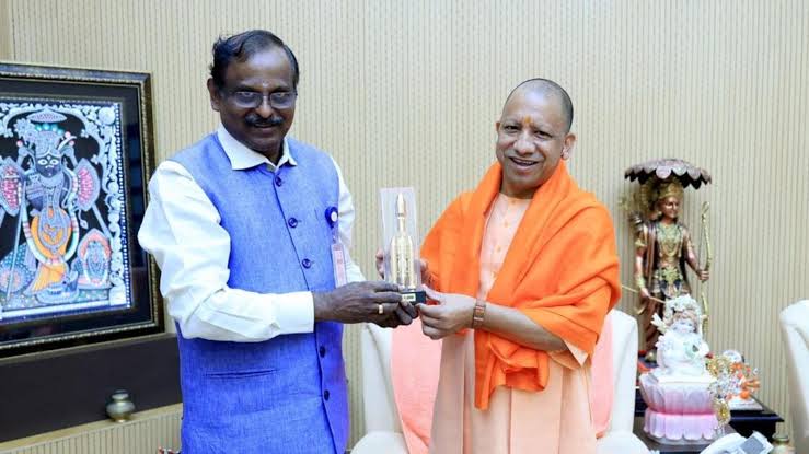
In a forward-looking move, ISRO Chairman Dr. V Narayanan met Uttar Pradesh Chief Minister Yogi Adityanath in Lucknow on Monday. The purpose? To explore how remote sensing technology can transform governance and development across India’s most populous state.
From climate analysis to disaster warnings, the discussion highlighted the powerful role of space technology in everyday governance. Both leaders expressed deep interest in leveraging India’s satellite capabilities for targeted, state-specific applications.
Lightning Alerts to Save Lives
CM Yogi emphasized a pressing issue—lightning fatalities. On average, 300 people die annually in UP due to lightning strikes. These deaths are often sudden, leaving families devastated.
“We need real-time satellite-based lightning alerts tailored to our state,” Yogi said. Such early warnings could be crucial for saving lives, especially in rural and forested regions.
Dr. Narayanan acknowledged the seriousness of the issue and committed to exploring solutions. “We’ll initiate steps to provide timely lightning forecasts using ISRO’s advanced satellite systems,” he assured.


During the meeting, both sides outlined a vision for applying remote sensing technology in Uttar Pradesh. Here are the major focus areas:
- Weather Forecasting: Accurate, location-specific weather updates for farmers and emergency services.
- Forest Monitoring: Regular observation of green cover and forest encroachment using satellites.
- Groundwater Profiling: Tracking aquifer levels to help address water scarcity in drought-prone zones.
- Urban Mapping: Satellite-based maps for better planning and traffic management in growing cities.
- Climate Change Analysis: Long-term data to track environmental shifts and policy outcomes.
“ISRO’s satellite capabilities are now mature enough to provide high-resolution data across multiple domains,” said Dr. Narayanan.
Why UP Needs State-Specific Satellite Data
Uttar Pradesh, with its size and diversity, requires data tailored to its unique challenges. From the Himalayan foothills to the Gangetic plains, the state’s geography is complex. So are its issues—be it floods in the east or drought in Bundelkhand.
Custom satellite data sets can help state departments make evidence-based decisions. Whether it’s predicting crop yields or managing disaster-prone zones, the benefits are enormous.
CM Yogi stressed, “We must use technology to anticipate risks, plan proactively, and protect our people.”
ISRO’s Progress in Remote Sensing
ISRO has made tremendous progress in earth observation and space applications. Over the past decade, it has launched multiple satellites—like INSAT, CARTOSAT, and RISAT—that support real-time data collection.
Dr. Narayanan listed recent successes: “Our satellites now track cloud movement, temperature, moisture, forest density, soil quality, and even human-made changes.”
India’s space agency is also working on AI-powered data analytics platforms to interpret satellite images more efficiently.
Implications for Farmers, Planners, and Policymakers
The partnership between ISRO and the UP government could become a model for other states. By using GIS and satellite analytics, UP can improve:
- Crop insurance assessment
- Disaster preparedness
- Water resource allocation
- Urban development
- Environment protection
Imagine a farmer receiving a warning about a storm hours in advance—or an irrigation officer knowing exactly where water tables are falling. These aren’t future dreams. They are possible today with space technology.
Conclusion: A Smart, Safer Uttar Pradesh
The ISRO-Yogi meeting marks a major step in integrating science with governance. If executed well, it could reduce disaster-related deaths, boost agricultural output, and streamline urban planning.
“We’re not just sending rockets to space,” Dr. Narayanan noted. “We’re bringing the benefits of space down to the grassroots.”
As Uttar Pradesh gears up for a tech-enabled transformation, the partnership with ISRO signals a bright, data-driven future for the state and its people.