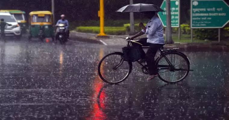
Patna: After days of dry heat, Bihar is likely to witness a turnaround in monsoon activity starting July 15. The Indian Meteorological Department (IMD) has forecast a significant rise in rainfall across the state, promising relief from the ongoing dry spell and high temperatures.
Ganga Water Level on the Rise
The level of the Ganga river has shown a noticeable rise in Patna. Key ghats like Maner, Digha, and Hathidah are witnessing increased water flow. At Digha Ghat, the river, which usually flows around 40 meters, rose to 47.30 meters.
Although this is still below the danger mark of 50.45 meters, officials are closely monitoring the situation. A continued increase in rainfall could lead to further swelling in water levels.
 IMD’s Forecast: Moderate Rain Ahead
According to the IMD bulletin, Bihar will continue to see isolated light showers for the next three days. However, widespread moderate rainfall is likely from Tuesday, July 15, onward.
The department has also issued a thunderstorm and lightning alert for parts of eastern and north-western Bihar on Sunday and Monday. People are advised to stay indoors and follow local safety advisories.
Temperature Trends and Weather Update
In Patna, Wednesday’s rainfall brought slight relief, pushing down the maximum temperature to below 36°C. The current forecast suggests that the maximum temperature will range between 34–36°C in Patna and surrounding districts.
The minimum temperature is expected to stay between 26–28°C. No major fluctuation in temperature is expected over the next five days.
Recent Rainfall Observations
On Friday, light rainfall was recorded in Aurangabad, Dehri, Supaul, Muzaffarpur, Bhagalpur, and Patna. Except for Bhagalpur, all these areas saw less than 1 mm of rain.
The highest temperature in the state was noted in Gopalganj at 37.5°C, while the coolest minimum was in another part of the state at 27.2°C.
How the Monsoon Impacts Agriculture
Bihar is heavily reliant on the monsoon season for its kharif crops, especially paddy. The delayed rains this year have already raised concerns among farmers in southern and central districts.
According to the state agriculture department, less than 25% of sowing has been completed so far. A strong revival of monsoon around mid-July will be critical to catch up with the schedule.
Voices from the Ground
“We’ve been waiting and preparing our fields, but there hasn’t been enough rain,” said Ramesh Yadav, a farmer from Nalanda. “If rain comes by next week, we can still make it.”
Similar sentiments echoed across Gaya and Bhojpur, where groundwater levels are already dipping due to delayed showers.
State Administration Gears Up
Officials have initiated flood preparedness measures in low-lying districts. Early flood warnings are being sent out through local panchayats and community radio networks.
The disaster management department confirmed it is stocking relief materials at block and district levels. Embankments along the Ganga and Gandak rivers are being inspected and reinforced.
What Lies Ahead
While Friday’s update brought optimism, the state remains watchful. If the IMD forecast holds true, most parts of Bihar will see good rainfall starting next week.
This will not only bring down temperatures but also revive sowing activities and improve water tables across the region. Until then, the state remains under a cautious watch.
Key Weather Highlights
- Monsoon revival expected from: July 15
- Ganga water level at Digha Ghat: 47.30m (danger mark: 50.45m)
- Highest temperature: Gopalganj at 37.5°C
- Thunderstorm alert: July 13–14 for eastern/north-western districts
- Rainfall so far: Below average across most districts
Stay tuned to updates from IMD and local authorities for accurate forecasts and alerts. Monsoon may have been late, but it’s finally making its way back to Bihar.