
This scheme empowers villagers to map their own land using advanced technology, ending decades of dependency on revenue officers and patwaris. It promotes transparency and self-reliance, transforming citizens into masters of their own destiny.
National Geospatial Policy 2022: A Game-Changer
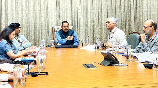
Dr. Singh praised the National Geospatial Policy 2022, which has democratized access to geo-spatial data. The policy fosters wider accessibility of this data for government agencies and public use, facilitating improved planning and governance across sectors.
The recent harmonization of administrative boundaries in collaboration with the Registrar General of India marks a key milestone in modernizing the Survey of India’s capabilities.

The Survey of India’s technical expertise underpins many flagship initiatives, including SVAMITVA, AMRUT, Smart Cities, Digital Twin Mission, and the NAKSHA Scheme. Dr. Singh highlighted plans to incorporate Artificial Intelligence (AI) and Machine Learning to upgrade technology and optimize resource use.
These advancements aim to improve geospatial data accuracy and expand its application across government departments, promoting innovation and efficiency.
High-Resolution Mapping and Geodetic Assets
The Survey of India is developing high-accuracy Digital Elevation Models (DEMs) and has shifted focus from traditional mapping to becoming a geo-spatial enabler for various economic sectors.
It has established 478 Continuously Operating Reference Stations (CORS) to maintain precise geodetic data. A Geodetic Asset Register at the state, district, and taluka levels is underway, intended to be accessible to Tehsildars to enhance citizen services.
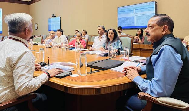
International Collaborations and Future Plans
Dr. Singh noted ongoing bilateral agreements facilitated by Prime Minister Narendra Modi with countries like Russia and Nigeria in geospatial data sharing. Six more international collaborations are in progress.
Ambitious plans are in place to achieve 5–10 cm resolution topographical surveys for urban and rural areas and 50–100 cm for forests and wastelands by 2030, aiming to boost planning, disaster management, and sustainable development.